
 |
Product Introduction
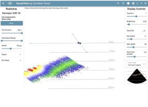
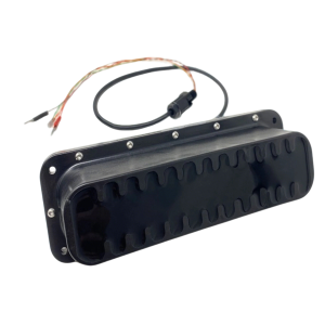
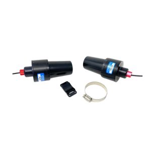
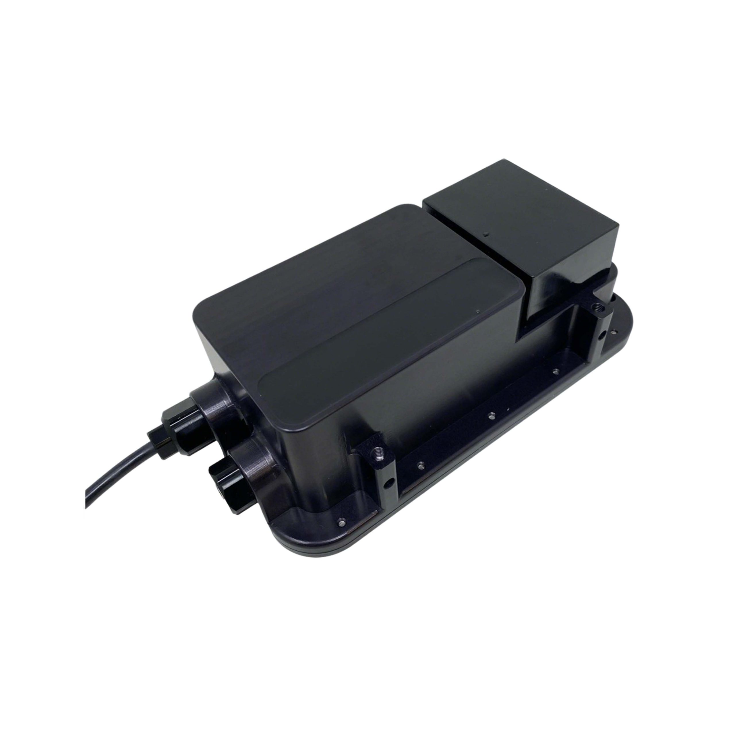
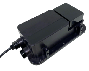
Multibeam Echo Sounder (MBES) – Riverbed & Seabed Bathymetric Mapping The Surveyor 240-16 is a compact, cost-effective Multibeam Echo Sounder (MBES), specifically optimized for small Unmanned Surface Vehicles (USVs). ● Bathymetric Range: Up to 50 m depth. The system comes complete with mounting brackets and all necessary hardware and cabling for USV installation. As a high-precision underwater mapping instrument, please consult our customer service team before purchasing. |
| Parameter | |
|---|---|
| Acoustic Frequency: | 240kHz |
| Along-track Transmit Beamwidth: | 4° |
| Across-track Transmit Beamwidth: | 80° |
| Number of Receiver Elements: | 16 |
| Across-track Beamwidth: | 7°(Conventional Beamforming) |
| Across-track Angular Resolution: | 1°(Angle of Arrival – AoA) |
| Range Resolution: | 0.5% of range |
| Maximum Operating Depth: | 300 m |
| Recommended Max Range: | 50 m(>100 m achievable on hard seabed) |
| Supply Voltage: | 10~30 V |
| Data Interface: | 100 Base-T Ethernet |
| Electrical Connection: | JST-GH (4-pin) for data; includes JST-GH to RJ45 adapter |
| Weight in Air: | 790 g |
| Weight in Water: | 145 g |
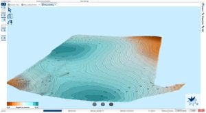
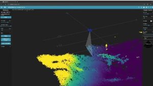
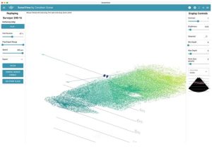
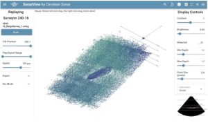
Surveying Performance