 |
Product Introduction
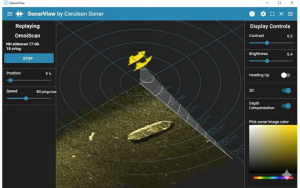
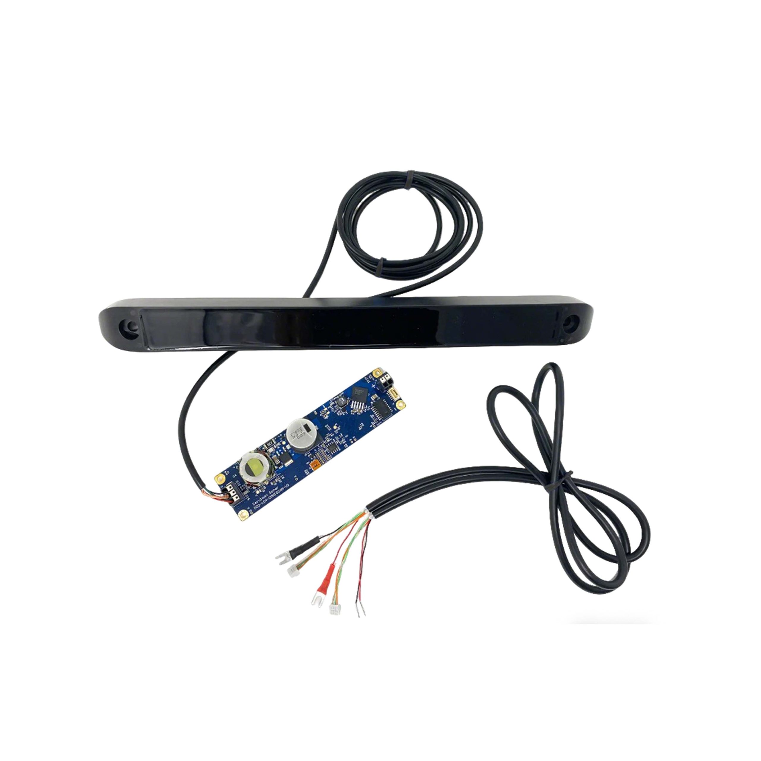
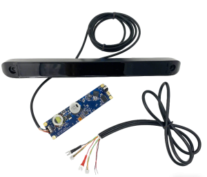
Side Scan Sonar – Optimized for Turbid Water Search & Rescue The Omniscan 450SS is a specialized side-scan sonar designed for high-precision underwater detection. Featuring an extended transducer design, it delivers a 50% increase in angular resolution. With a depth rating of 300 m, it offers a maximum scanning range of up to 150 m. ● Dual-Side Scanning: Two units are required for simultaneous dual-side detection. |
| Parameter | Specification |
|---|---|
| Frequency: | 450 kHz |
| Range Resolution: | Up to 1/1200 of the range |
| Power Supply: | 10~30VDC;Standby 5W,Operating 10W |
| Data Interface: | Ethernet |
| Maximum Range: | 150 m |
| Beam Width: | 0.5° |
| Beam Height: | 50° |
| Maximum Operating Depth: | 300 m |
| Transducer Weight in Air: | 180 g |
| Transducer Weight in Water: | -10 g |
| Dimensions: | 318*30*20 mm |
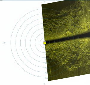
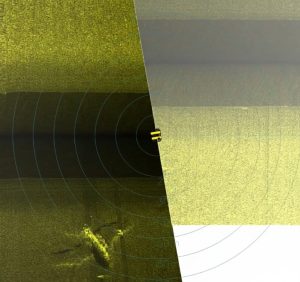
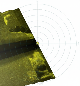
Imaging Performance